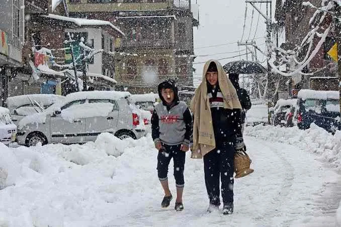
Weak Western Disturbance to bring light snow today, stronger systems lined up next week
Srinagar, Jan 16: A weak Western Disturbance is expected to affect Jammu and Kashmir from late Friday afternoon, bringing a short spell of light snowfall to higher altitude areas and cloudy weather to the plains, according to weather experts.
Director of the Meteorological Department, Mukhtar Ahmad, said that places such as Gulmarg, Pahalgam and Sonamarg, along with major mountain passes, are likely to receive light snowfall during the latter half of the day and evening. In the Kashmir Valley plains, skies are expected to remain cloudy, with chances of light rain or very light snowfall at a few isolated spots.
He added that the system is mild and will have a brief impact, largely confined to higher elevations. Daytime temperatures may see a slight drop, while night temperatures could fall marginally in areas that receive fresh snowfall.

More significant weather activity is, however, lined up in the coming days. A moderate Western Disturbance is forecast to affect the region from January 19 to January 21, which may bring more widespread snowfall over the upper reaches and light to moderate precipitation in middle and lower elevations.
Even more notably, the season’s first strong Western Disturbance is expected to influence Jammu and Kashmir between January 22 and January 26. Director MeT said this system could mark the most intense winter spell of the season so far, with the likelihood of widespread snowfall across higher and middle reaches and prolonged cold conditions across the Valley.
If the stronger system materializes as projected, it may lead to temporary disruptions on key highways and mountain passes, while also strengthening the winter snowpack in alpine areas, an important factor for water resources in the coming months.
Authorities are keeping a close watch on the evolving weather pattern and have advised locals, especially those in higher reaches, to remain prepared for changing conditions over the next ten days. [KNT]
